3D Laser Scanning
Millimetre-accurate point clouds for site documentation, as-built verification, flatness & plumbness analysis and site planning.
Square Cub3d turns construction sites into precise, shareable 3D data — pre-build, post-build, and every milestone in between. Point clouds, drone documentation and scan-to-BIM across Western Canada.
3D scanning technology provides precise, comprehensive construction measurements — a single source of truth everyone on the project can build from.
Every scan becomes a dimensionally accurate record of the site as it really is — not as the drawings assume. Architects, engineers, contractors and owners work from the same reality, shared across the software they already use.
The result: fewer surprises, earlier clash detection, and a documented as-built you can revisit at any point in the build.
Field to deliverable, one measured pipeline.
Millimetre-accurate point clouds for site documentation, as-built verification, flatness & plumbness analysis and site planning.
Ortho maps, aerial progress media, waypoint time-lapse, aerial point cloud and gaussian-splat capture of the whole site.
Layout, control, site support and structural monitoring — putting the model back onto the ground with survey-grade precision.
BIM integration, scan-to-BIM modelling and scan-vs-BIM verification — turning raw reality capture into intelligent deliverables.
A hosted digital-reality platform and asset library — every scan, every milestone, compared over time and shared with every stakeholder from one link. Your site, walkable from any browser.
Site surveys, progress monitoring, as-built documentation and renovation planning — commercial, residential, industrial and infrastructure.
Detailed 3D models shared across platforms keep architects, engineers, contractors and stakeholders speaking the same language.
Streamlined capture cuts data-collection time and surfaces potential issues early — before they become change orders.
Non-intrusive, remote data collection reaches hazardous or hard-to-access areas without putting a crew in harm's way.
One reality-capture pipeline, four proven tools.
High-density laser scanning & drone capture record the site exactly as built.
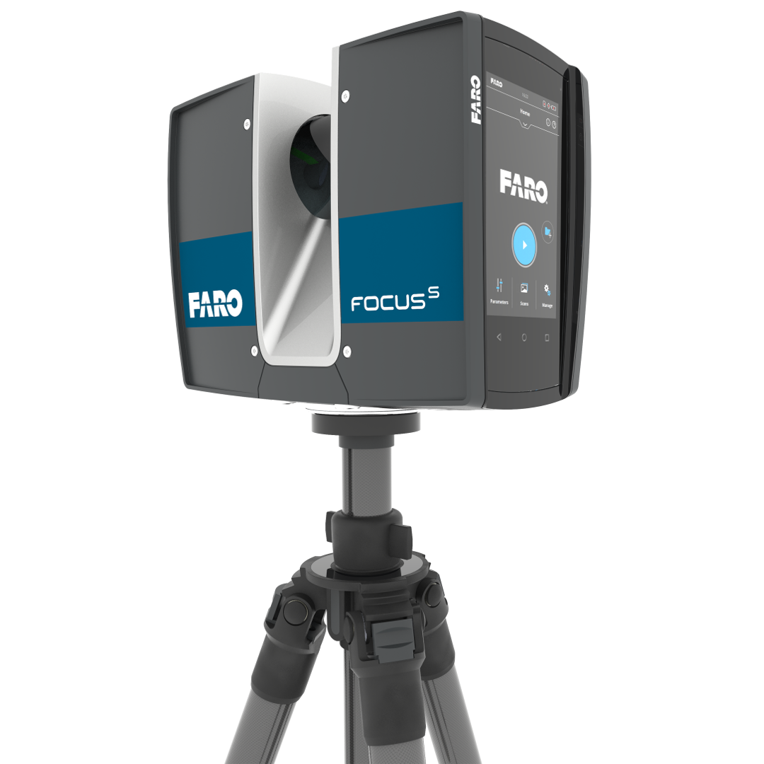
FARO Focus S70Scans are registered and cleaned into one accurate, unified point cloud.
FARO SCENEPublished to the cloud so every stakeholder can walk the site and compare over time.
FARO Sphere XGReality capture becomes intelligent as-built and scan-to-BIM deliverables.
BricsCAD / RevitA 240-bed long-term care facility in Vancouver, opening fall 2028. Square Cub3d provides reality capture and as-built verification across the build — documenting each phase into an accurate, hosted digital record the whole project team can rely on.
Schedule your free initial consultation — we'll walk your site, scope the capture and show you the deliverables.